Kerry Island & Westport Unit Restoration, Columbia River, OR
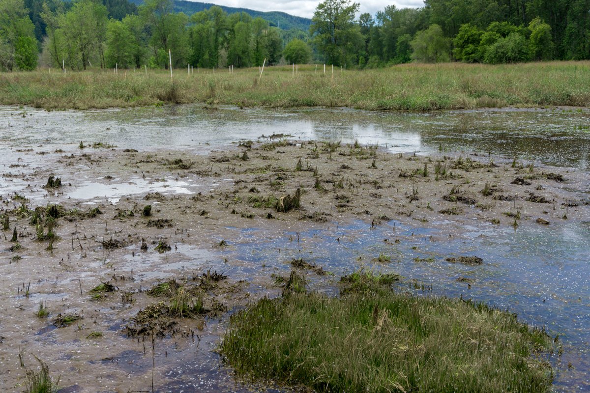
The Kerry Island & Westport Unit Restoration projects are two adjacent projects that both reconnect leveed floodplain habitat with Westport Slough, adjacent to the mainstem Columbia River. Both efforts involved levee breaching and removal, tidal channel creation, and revegetation to support salmon and steelhead habitat within the Columbia River Estuary. Because of different site histories, the pre-project conditions of the two areas were very different. Kerry Island had subsided about 4-6 feet lower than the Westport Unit as a result of being disconnected from tidal inundation and intensive agriculture use. The Westport Unit had less intensive use, and was open to tides, preventing similar subsidence from occurring. With breaching, Kerry Island is now functioning as low-marsh habitat with emergent plants and the Westport Unit is functioning as high-marsh habitat supporting trees and shrubs. Site evolution is currently being monitored.
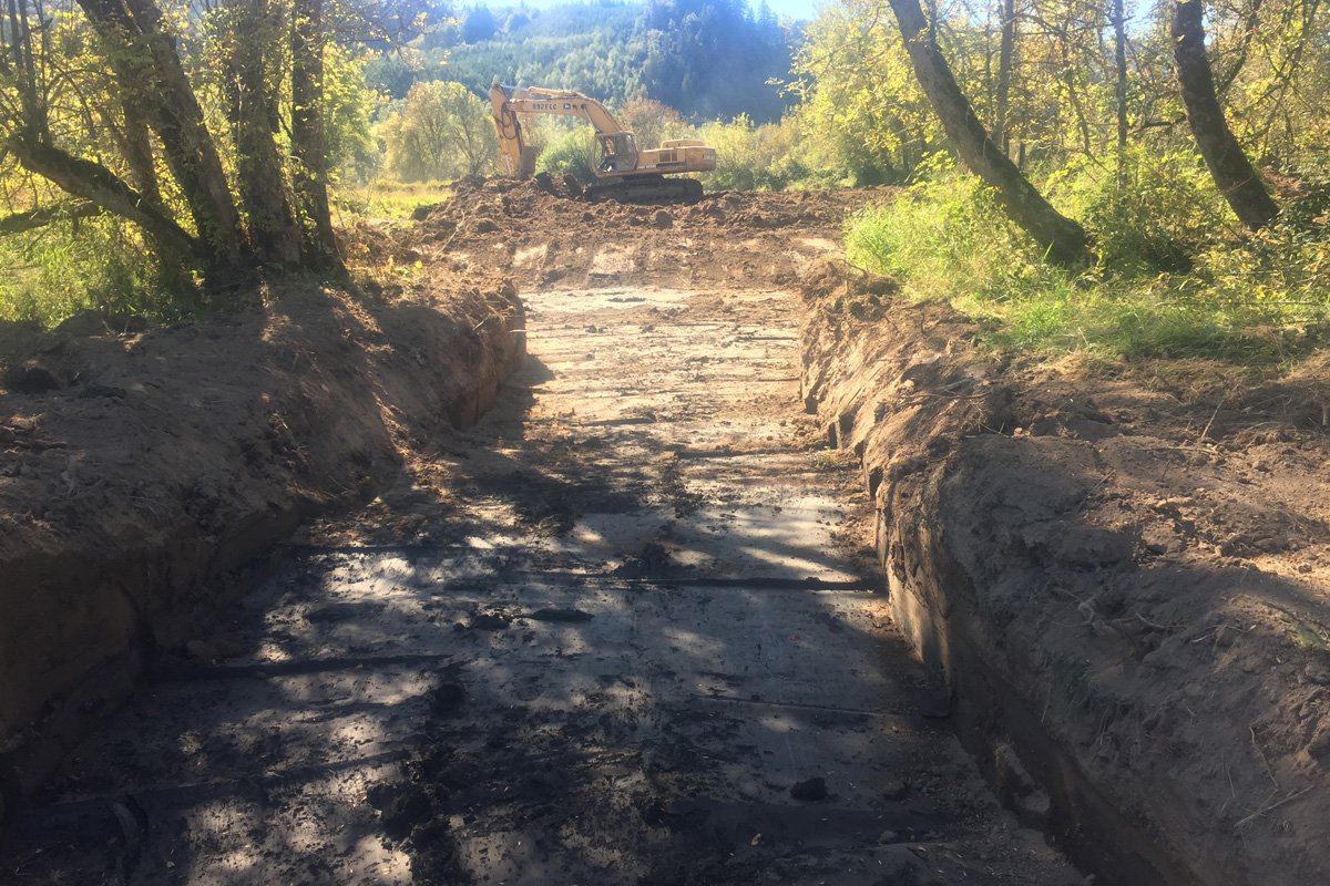
Excavators dug channels throughout the island in the dry. Trees were left standing when possible to provide shade and eventually fish habitat after they fall. Channels were designed using nearby intact tidal floodplains at the Westport Unit as analogs for channel shape and sinuosity.
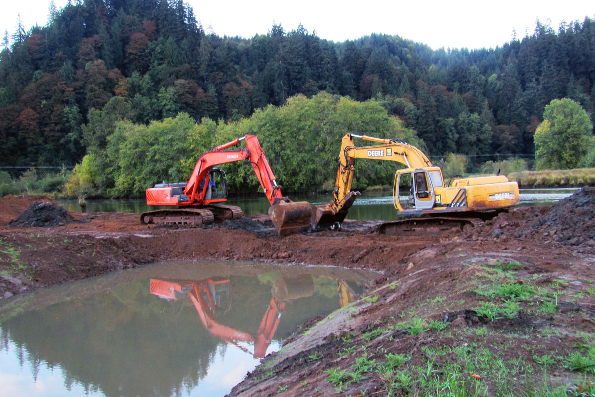
One of the more complex aspects of this project was the construction sequencing. On the lowest tidal swing of the month, nine excavators simultaneously removed the final remnants at each of the levee breach locations as the tide receded.

Fifteen wood placements were installed in marsh channels, each consisting of 2 ‐ 3 logs with rootwads and 3 ‐ 4 vertical snags used to pin and ballast the rootwads. Large wood will support ecological functions including fish habitat, increased marshplain roughness, organic matter inputs, retention of detritus, and local topographic complexity. The image above show a wood structure before levee breaching (September 2016).
Two year later after construction.
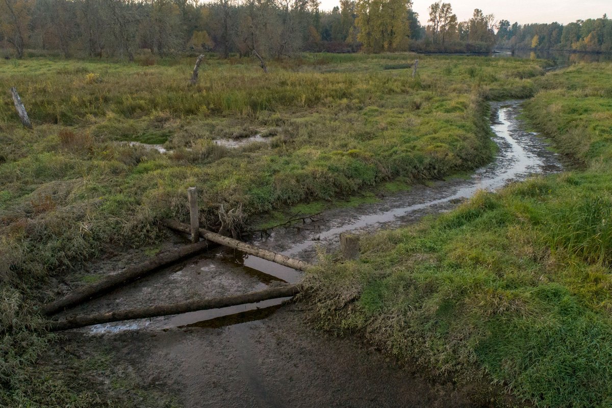
White poles in the background were installed by Columbia Land Trust to aid in collecting data on soil accretion at the site. Accretion is important because currently, much of the site is low marsh habitat where many plant species can not grow. As soil deposits, a wider species of plants will grow, encouraging a higher variablity of insets (food).
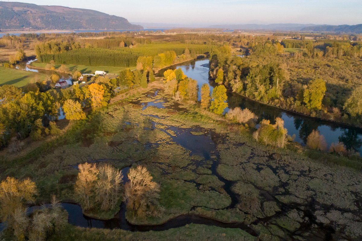
This October 2018 images shows the eastern side of Kerry as the tide was coming up. Westport slough is apparent, as is the Columbia River in the distance. The small white stakes are part of a study to monitor soil accreditation on the island.