Middle & Upper Columbia River, Washington
Since 2001, we have performed 15 detailed reach assessments and developed restoration strategies on over 147 miles of stream within key watersheds of the Methow, Entiat, Wenatchee, Yakima, and Klickitat rivers. This up-front planning work has led to over 70 actual in-the-ground restoration projects for the Yakama Nation. Projects have included main channel, off-channel, riparian, and floodplain habitat enhancement. Specific project types have included dam removals, culvert replacements, side channel creation, levee removal, large wood structures, headwater meadow restoration, restoration of incised channels, fish screening, and bank habitat complexity. Below are snapshots of a few of our reach assessments and completed projects.

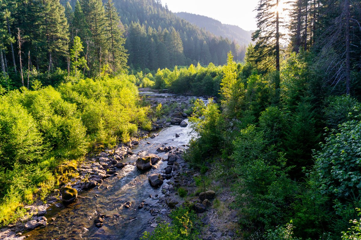
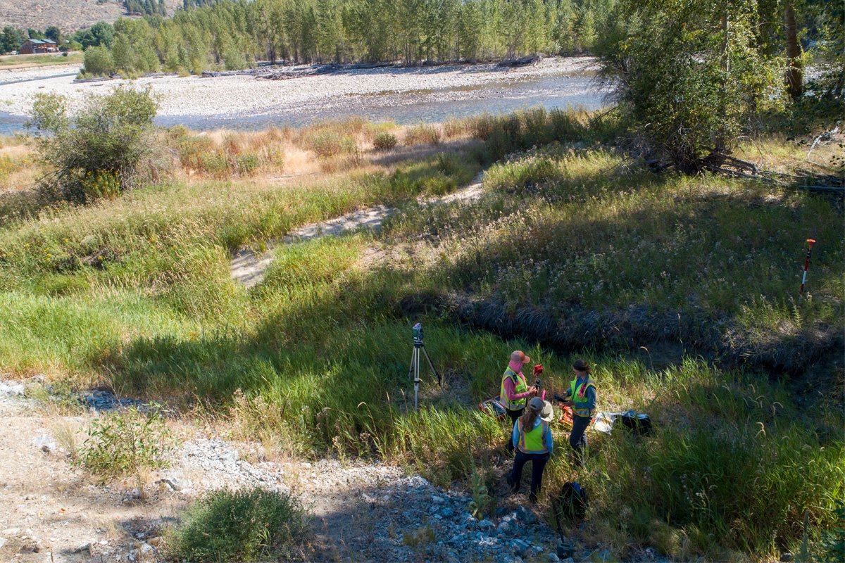
Reach assessments often include aquatic habitat inventories, fluvial geomorphic assessments, and hydraulic analysis. Photo: Wolf Creek, WA.
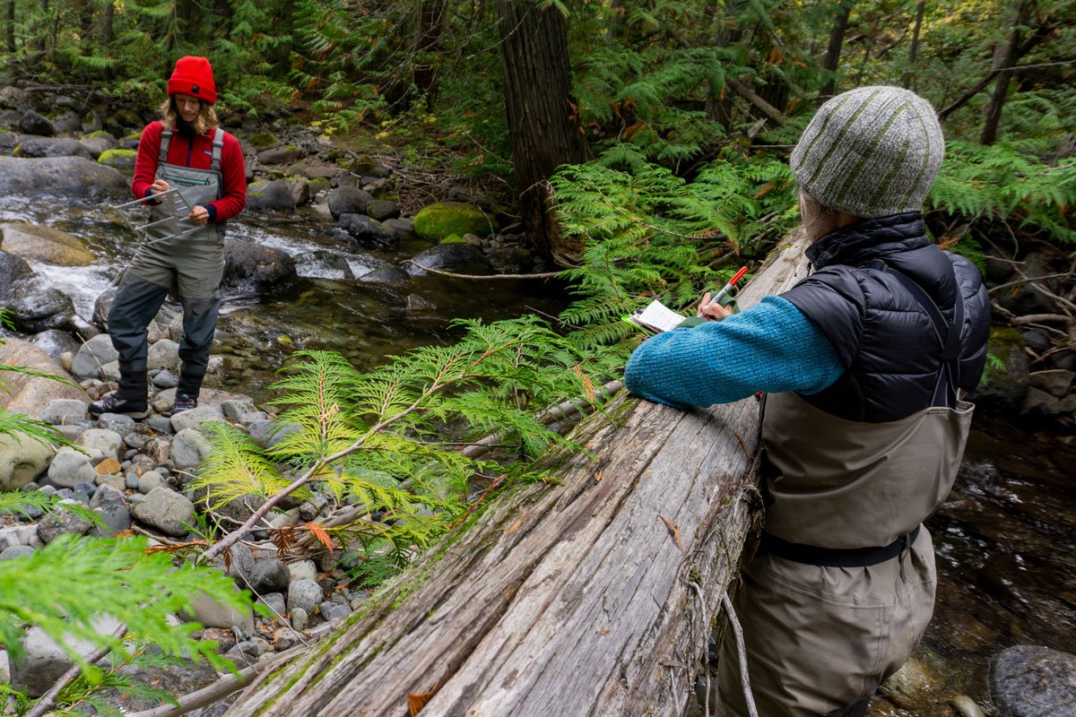
The results from these technical analyses are integrated with recovery planning priorities and project opportunities as part of a coordinated restoration strategy. Photo: Wolf Creek, WA.
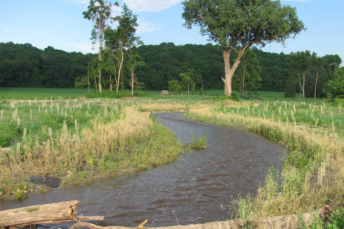
In 2020, a reach assessment along the Methow River involved surveying for potential projects that are likely to include components such as re-establishing riparian vegetation, increasing channel complexity to provide future wood recruitment, and installing mainstem habitat features for rearing and migrating juvenile and adult salmonids.
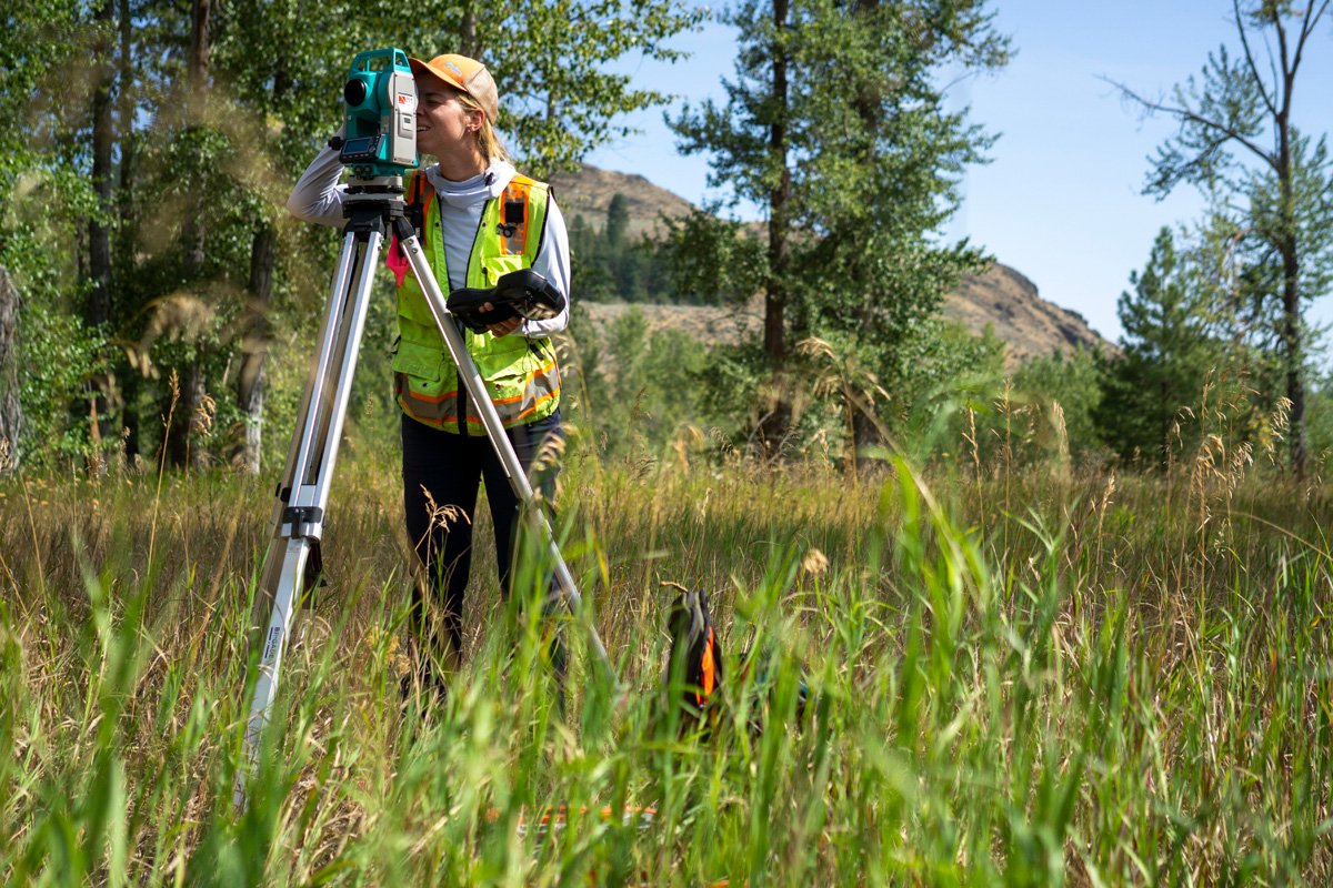
Mackenzie Baxter surveying along the Methow River.
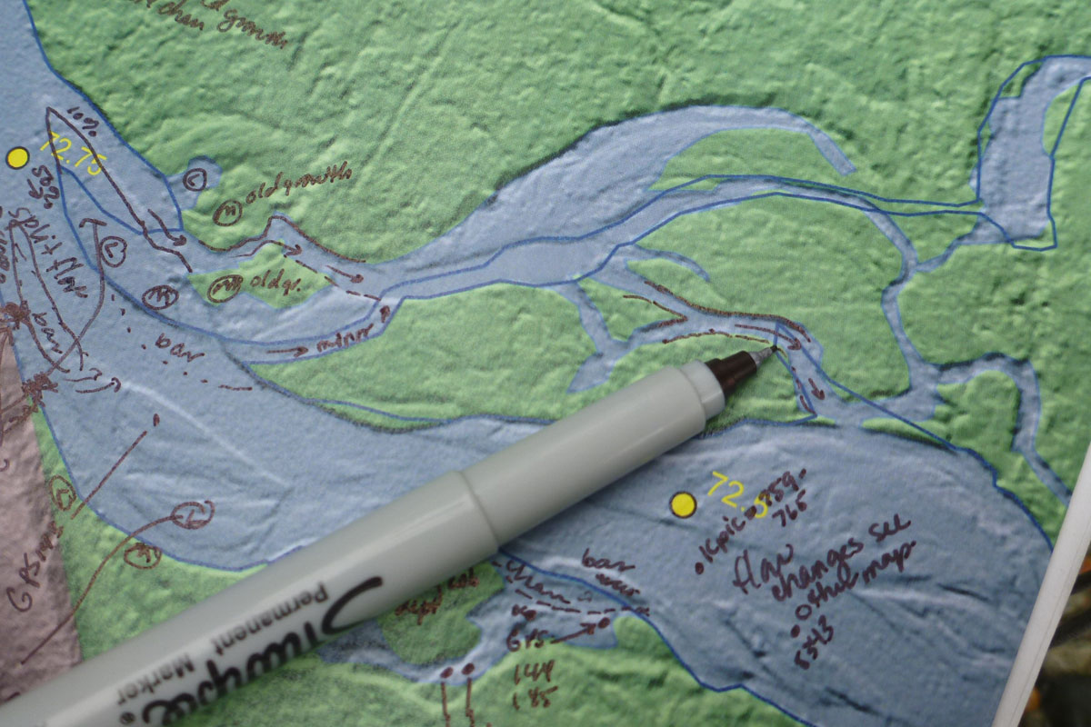
The restoration strategy identifies the recommended type of treatments, feasibility of treatments, and prioritization/sequencing.

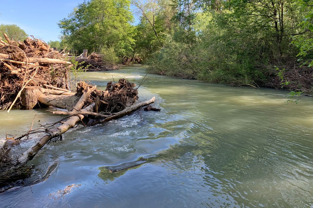
We performed a two-mile-long reach assessment on Toppenish Creek that included identification of several projects including the Toppenish Creek 3-Way Diversion Levee Removal and Habitat Restoration. The project, which included levee removal, abandoned diversion structure removal, a fish screen, and channel construction and remeanding was constructed in 2018.

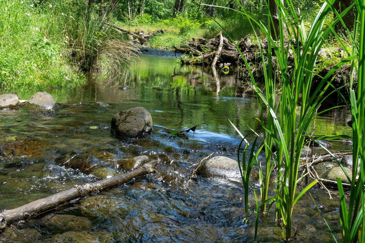
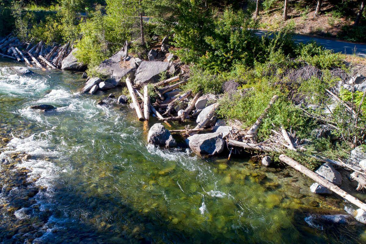
We completed a reach assessment on the Chewuch River in 2010 that included identification and prioritization of projects, including a side channel that we designed and constructed in 2015. The new 3,600-foot Chewuch River Right side channel provides a diversity of aquatic and riparian habitat including wetland benches adjacent to the channel that further enhance habitat potential.
Logs and salvaged whole trees were used to provide cover for aquatic pool habitat. Photo shows the side channel five years after construction.
We completed a reach assessment along the Upper Entiat River in 2013 that included identification and prioritization of projects. The Signal Peak site project was constructed in 2017 and included placing preassembled log-boulder units by crane along a total of 450 feet of road embankment riprap at two sites.