Sand Creek & Credit River Assessment, Project ID and Restoration
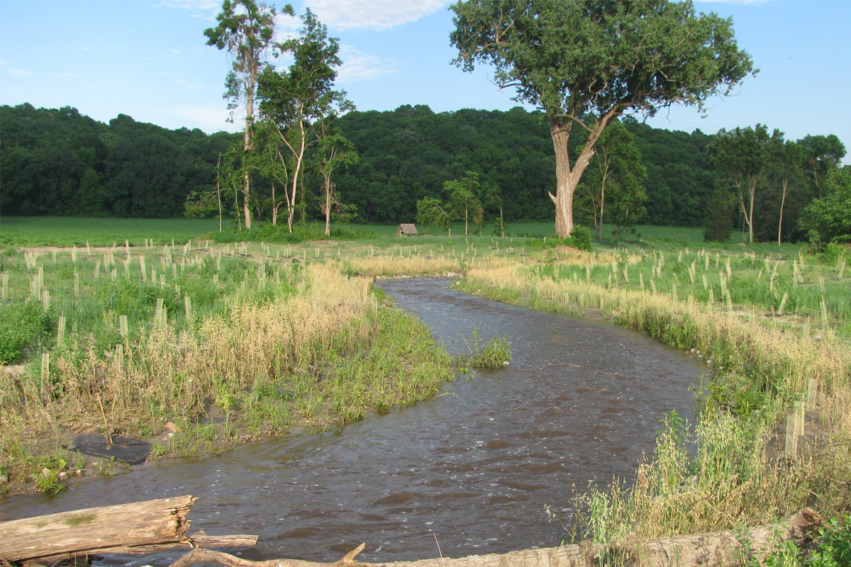
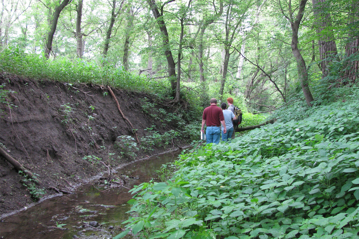
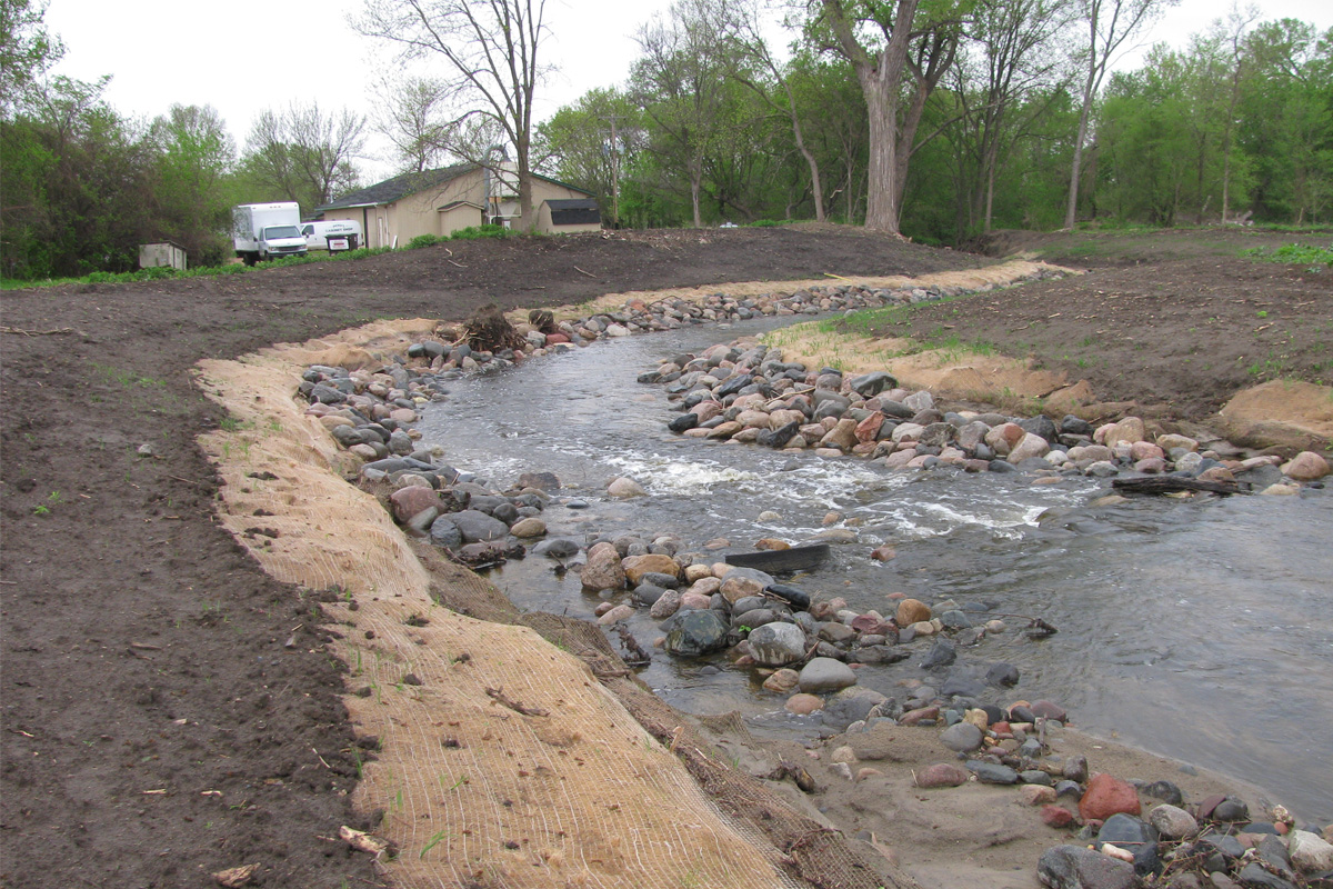
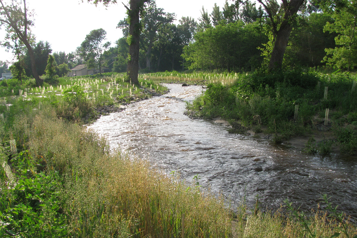
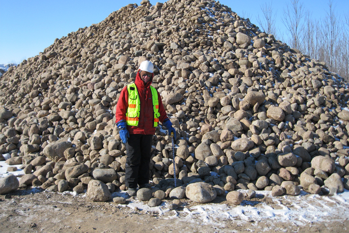
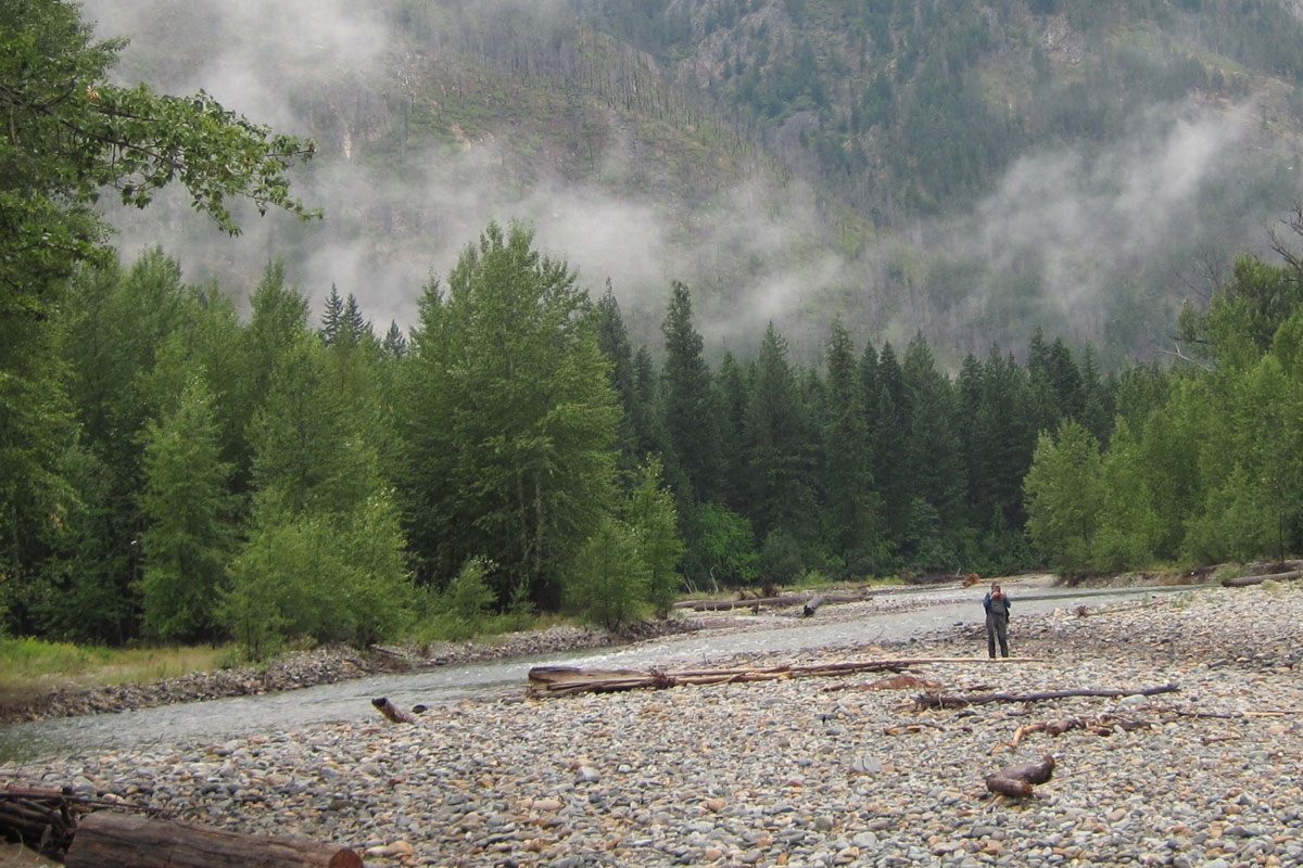
We walked 125 miles of the Sand Creek and Credit River (MN) for a watershed-level assessment. Our work included identification and prioritization of over 200 restoration projects. Among the projects identified was one at Picha Creek where increased rainfall, tilling and development pressures in the upper watershed were leading to channelization. Significant sediment loads were also being released into the system, with no sign of equilibrium. We had two options: raising the channel bed or lowering of the adjacent floodplain. Ultimately, we opted for a combination approach. A 3,000 ft cobble and gravel riffle pool channel was created, and adjacent sand and sandy loam soils were used for channel fill to encourage infiltration and increased baseflow. Nearby, Porter Creek is a low gradient, highly meandering stream that abuts against older terraces composed of sand and clay, resulting in large, eroding bluffs. This type of bluff erosion has been identified by researchers as a major contributor of sediment in Lower Minnesota River watersheds, and Scott County has preferentially targeted such bluffs for stabilization. We offered Scott County several options for stabilization, including engineered log jam and floodplain bench treatment. This method was chosen as a low-cost combination of passive and active restoration, whereby the lower bank is stabilized and the upper bank is allowed to heal passively. Log cribs were installed to prevent rotational failure, stabilize toe seepage areas, create in-stream fish habitat, and create a living bioengineered slope. The project serves as a demonstration of alternative bluff erosion options that can be used in a variety of soil types
